
Credit: Spruce Schoenemann (sprucemann@gmail.com)
We made it to WAIS! After some delays in the morning, our flight took off from McMurdo around 7:30pm Friday. We arrived at WAIS around 11pm, and were quickly introduced to the camp manager and the camp itself before shuffling off to bed. This camp is incredible! Sometimes you can't tell the sky from the snow. Other times there's a ring of blue around the horizon, which you can see 360 degrees of. We spent Saturday getting settled in, setting up our sleeping tents and science station. Sunday we began our work!
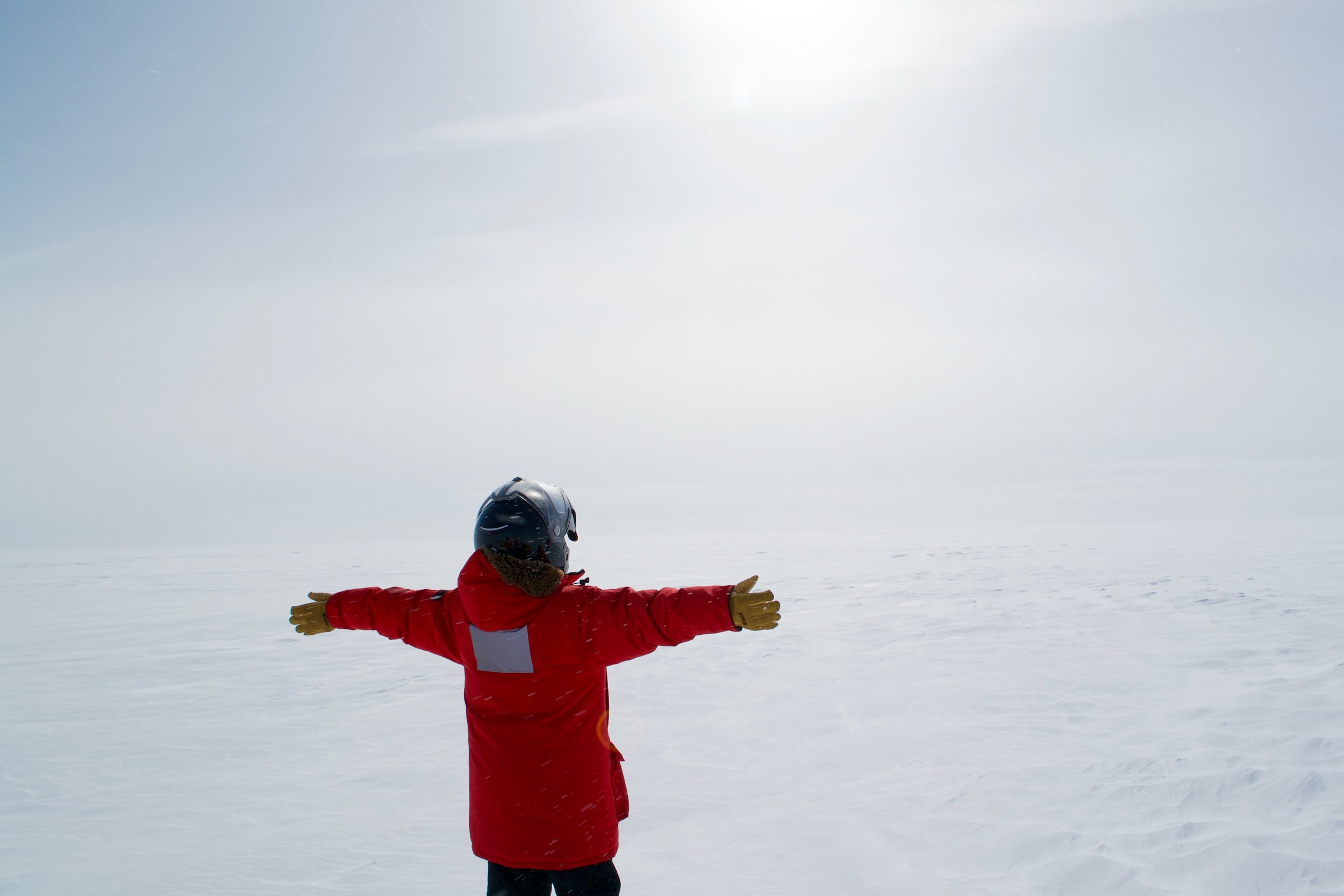
Emily soaks in the bright white of WAIS
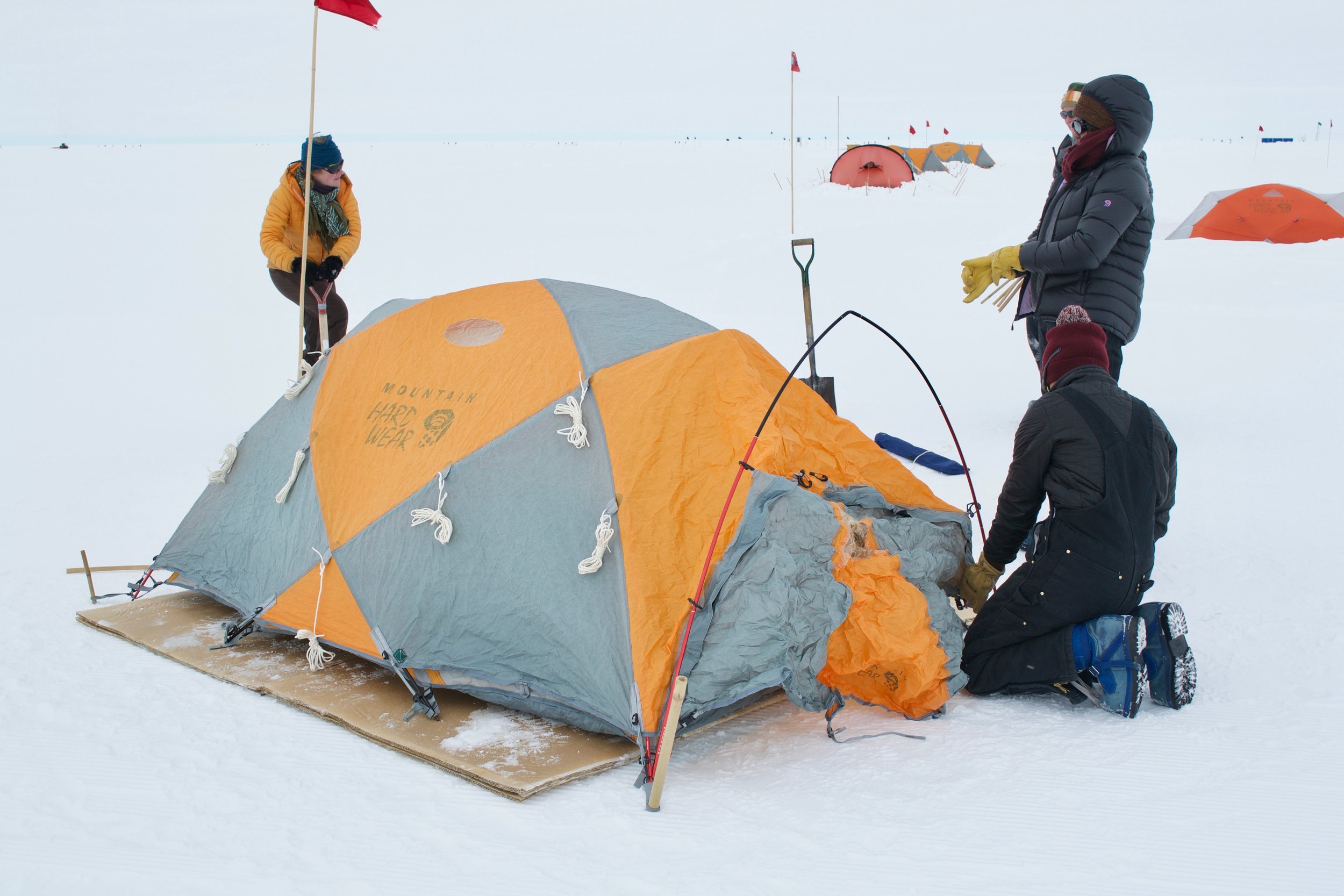
Tent set up!
The West Antarctic Ice Sheet (WAIS) Divide is where the ice on WAIS flows in different directions, draining into different seas. Scientists will collect cores at divides because the ice is moving slower and because we know the ice first originated there. However, the drilling directly on the divide on WAIS is tricky, because of a rain shadow effect caused by the slight ridge formed along the divide. The ridge is barely noticeable to anyone walking over it in the field, but even the minor uplift creates two distinct climates on either side, one drier than the other. Meanwhile, the divide has shifted back and forth over time, so that if we were to drill straight down on the divide we'd encounter abrupt changed in the climate records depending on which side the divide happened to be on. We wouldn't be able to discern depositional changes due to a dramatic overall climate change, or simply a shift between the two adjacent climate systems.
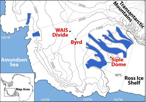
The dashed line represent the West Antarctic Ice Sheet divide, and the dot labelled WAIS divide is where the ice core was extracted. That's where we are!
Because of this, the WAIS divide ice core was drilled slightly off the divide. Scientists spent two years in 1994-1996 conducting geological surveys of the surrounding area in order to find a favorable sight for ice core extraction. In the end, the current location was decided by combination of high deposition rates (a useful data set requires thick enough ice layers), flat and smooth underlying bedrock, and fabric of the ice. The WAIS Divide website outlines the key components of the drilling site:
- bedrock topography is relatively smooth at km scales;
- internal layers are flat and undisturbed;
- location is ~24 km downslope of the flow divide (but within 10 ice thicknesses of the divide) to insure that no divide migration has compromised the stratigraphy;
- annual layers will be detectable (1 cm thick) to at least 40,000 years;
- ice from deglacial period will not be brittle;
- gas-age ice-age difference is ~200 years for the Holocene and ~300 to ~500 years for the last glacial period.
What are we actually doing?

The black casing is the top of the borehole we are logging.
While at WAIS we have a few tools to collect data with. The first is an Acoustic Televiewer, which will be lowered into the borehole to record the size and shape of borehole.
The second tool is a Sonic Logger. The sonic logger will also be lowered down the borehole, and will provide us with information on the texture of the ice. This is done by using sound waves through the ice. The speed of sound will be faster or slower depending on the orientation of the ice crystals. Randomly oriented ice crystals, typically the younger layers, will have slower speeds, while deeper, stronger ice where crystals have fallen into near parallel orientation, will experience faster speeds.
The third task is to conduct a radar survey around WAIS divide. The radar is used to look at layers in the ice sheet by sending waves down into the ice where they will bounce off of certain layers and return to a receiver on the surface. We hope the data collected will show ash/dust layers, tilted layers, and layers that have changed thickness over the years.