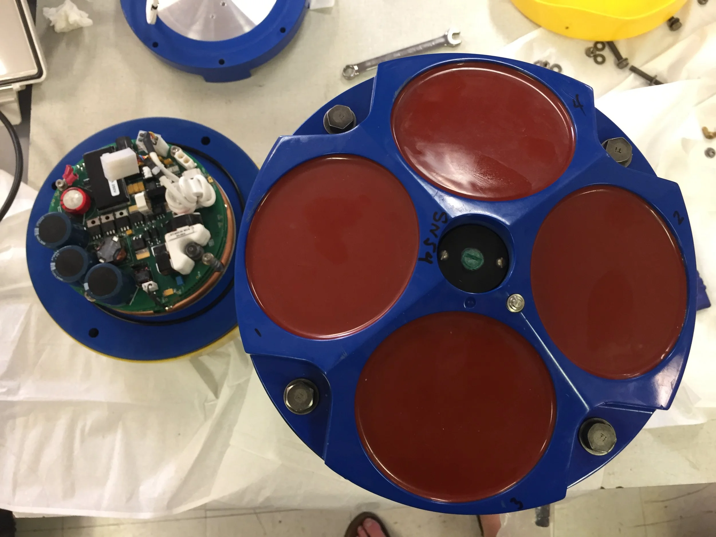
Loading the Cargo Container... and ROAD TRIP!

by Erin

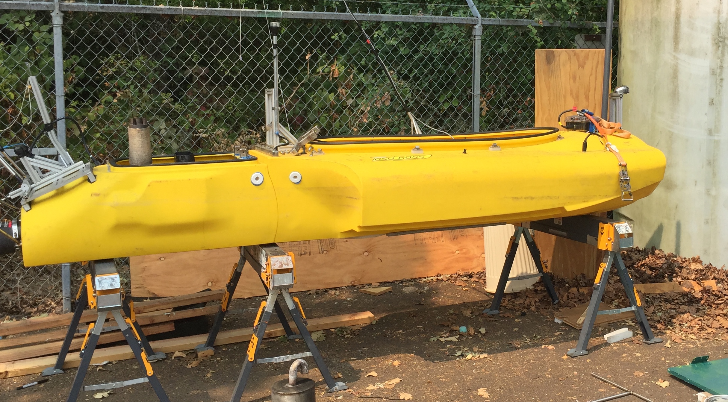
After instruments are prepped, raft designed and built, and supplies purchased, we had to load all the equipment, tools, and supplies, including the two ROSE boats, into a 20' cargo container to be shipped to Alaska. We had to keep track of what was packed in each box, and which boxes were ready to load, and figure out ways to secure odd bits, such as the giant mooring float in the photo below. 

ball.gif

Becca and Jonathan are prepping a large black bin of mooring supplies before it will be forklifted into the container. Notice the giant ball is now in the upper right of the container, ROSE is underneath it, boxes of instruments in the middle, more small mooring balls stuffed in various places. It all has to fit... tetrus with odd shapes! 

IMG_1316.JPG

Jonathan loves driving the forklift. Here he is carrying lead weights that might look small, but each weigh a couple hundred pounds - not something any of us could lift! Watch your toes...  

In the end Jonathan and I had to drive the container to Seattle. A bumpy 5 hour drive, when ended at the Alaska Marine Lines dock where a giant forklift picked the container up off our truck and took it away - to a barge to be sent off to Petersburg, Alaska. 

Pre-field Preparations at Oregon State University!

By Akua

So, what the does the prep work for a glacier expedition look like? For the past few weeks, the lab witnessed an extreme bustle of activity. The breakroom whiteboard captured the long list of activities needed to make our upcoming trip go smoothly – cataloging everything from equipment to purchase and instruments to clean, to flight information and housing logistics.

breakroom.png

I quickly learned the significance of this work. Once in the LeConte fjord, our whole team will be focused on the data collection process, so having all the equipment calibrated and organized beforehand will help make our work more focused and efficient. Seemingly small tasks done ahead of time – measuring out cable lengths and chunks of chain, calibrating compasses, programming the instruments used to collect data – can make a big difference during the actual trip, when the team will only have three days to deploy instruments and gather data.

At the top of the list this week was final testing of the Robotic Oceanographic Surface Explorers (ROSE) and building the raft that will be used to deposit our instruments at the base of the LeConte Glacier ice cliffs. During the expedition, ROSE will navigate to the terminus of the glacier with the raft in tow, carrying the instruments, floats, and anchors that will be deployed to analyze subglacial melt. These devices are the crux of the expedition, because they allow us to conduct acoustic analysis in regions too dangerous for the team to explore in person. ROSE is ultimately what will help us get close enough to the edge of the glacier to listen to ice melt at its base.

IMG_8307[1].JPG

We also needed to calibrate and program the different instruments we’ll use to collect data during the trip. For this expedition, we will be using both CTD SeaBirds and Acoustic Doppler Current Profilers (ADCPs). The SeaBirds are standard oceanographic instruments that will be used to measure the conductivity, temperature, and pressure of water in the LeConte Bay.  To gather data about the velocity of water flow within water columns at the glacier’s base, we’ll use ADCPs. Ultimately, both instruments are important and weaving the two types of data together will allow us to develop a more comprehensive understanding of how ocean water and subglacial melt interact at the ice-ocean boundary. 

IMG_8319[1].JPG
IMG_8303[1].JPG

Finally, after everything was calibrated and built, it was time to pack all our gear into the container that will meet us in Petersburg, Alaska! It was a busy, busy week and it left me with a much greater appreciation for all the ground work that must be done to make the expedition possible.

Here are a few more photos and videos of the instrument preparations.

IMG_1268.JPG
IMG_1256.JPG
IMG_1251.JPG

National Geographic Partnership

by Erin

Sound of Ice is funded by National Geographic Society. 

While National Science Foundation has been funding core research in this fjord for the last several years. This particular expedition includes a special, slightly risky, super exciting component that is funded by the National Geographic Society. We are combining Erin's work in acoustics and Jonathan's ability to make measurements with an unmanned boat to push the boundaries of science by using Jonathan's boat ROSE to actualy deploy a mooring that has hydrophone sensors on it to "listen" to the glacier, right up at the base of the ice cliffs - closer than anyone has before.   In a tribute to National Geographic's support of this project, we thought it fitting to design our mooring deployment "raft" as the classic NGS rectangle. We will add photos showing ROSE in action here soon!  

rose1.jpeg
ngsrect1.jpeg